Bandstand or Angell Pond
Introduction
The photograph on this page of Bandstand or Angell Pond by Roger Jones as part of the Geograph project.
The Geograph project started in 2005 with the aim of publishing, organising and preserving representative images for every square kilometre of Great Britain, Ireland and the Isle of Man.

There are currently over 7.5m images from over 14,400 individuals and you can help contribute to the project by visiting https://www.geograph.org.uk
Bandstand or Angell Pond
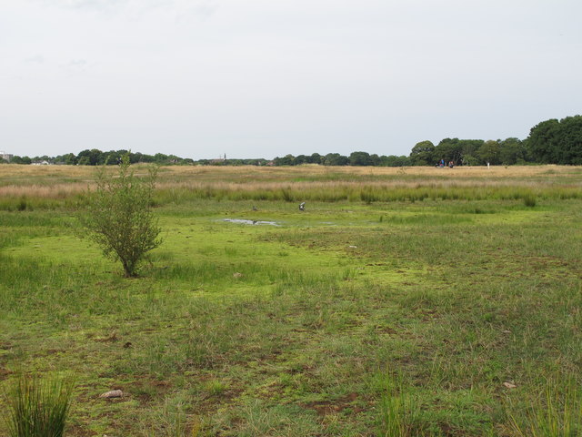
Image: © Roger Jones Taken: 14 Jul 2011
Not so much a pond in July 2011, more like a boggy puddle. The pond was named after Lewis Angell, who was responsible for the construction of the pond during the winter of 1893-94. At one time there was a bandstand nearby, which is why it is sometimes referred to as Bandstand pond.
Images are licensed for reuse under creativecommons.org/licenses/by-sa/2.0
Image Location
Latitude
51.554746
Longitude
0.026349