Bittacy Road, Mill Hill
Introduction
The photograph on this page of Bittacy Road, Mill Hill by Malc McDonald as part of the Geograph project.
The Geograph project started in 2005 with the aim of publishing, organising and preserving representative images for every square kilometre of Great Britain, Ireland and the Isle of Man.

There are currently over 7.5m images from over 14,400 individuals and you can help contribute to the project by visiting https://www.geograph.org.uk
Bittacy Road, Mill Hill
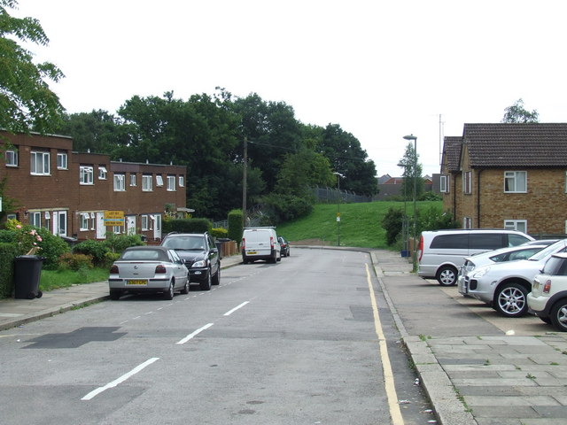
Image: © Malc McDonald Taken: 3 Jul 2011
Bittacy Road is a residential road in Mill Hill, in North London. At the far end of the road the grassy bank is a railway embankment. The fence marks the end of London Underground's branch line to Mill Hill East. The railway used to continue beyond Mill Hill East along this embankment.
Images are licensed for reuse under creativecommons.org/licenses/by-sa/2.0
Image Location
Latitude
51.609076
Longitude
-0.212567