Footpath off Chadderton Heights
Introduction
The photograph on this page of Footpath off Chadderton Heights by Bill Boaden as part of the Geograph project.
The Geograph project started in 2005 with the aim of publishing, organising and preserving representative images for every square kilometre of Great Britain, Ireland and the Isle of Man.

There are currently over 7.5m images from over 14,400 individuals and you can help contribute to the project by visiting https://www.geograph.org.uk
Footpath off Chadderton Heights
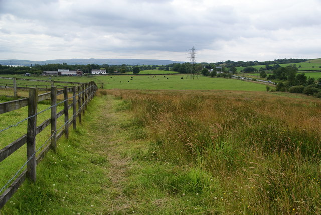
Image: © Bill Boaden Taken: 12 Jul 2011
The path goes to Three Gates Farm. The A627(M) is on the right and Scout Moor Wind Farm on the skyline.
Images are licensed for reuse under creativecommons.org/licenses/by-sa/2.0
Image Location
Latitude
53.563384
Longitude
-2.155619