End of the line, Mill Hill East
Introduction
The photograph on this page of End of the line, Mill Hill East by Malc McDonald as part of the Geograph project.
The Geograph project started in 2005 with the aim of publishing, organising and preserving representative images for every square kilometre of Great Britain, Ireland and the Isle of Man.

There are currently over 7.5m images from over 14,400 individuals and you can help contribute to the project by visiting https://www.geograph.org.uk
End of the line, Mill Hill East
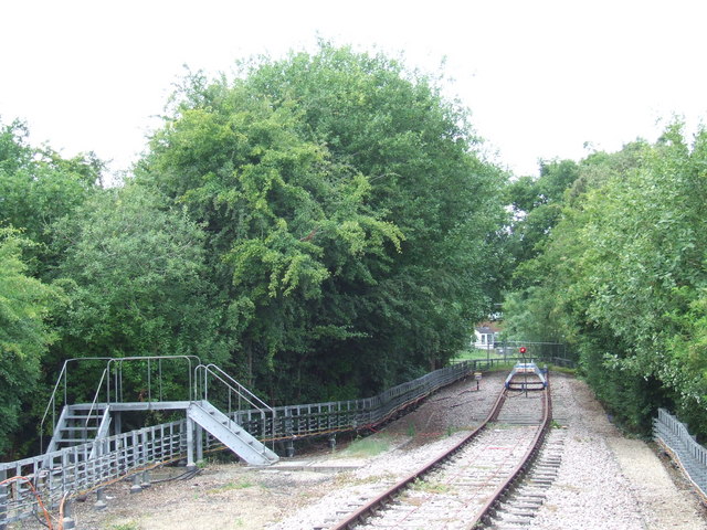
Image: © Malc McDonald Taken: 3 Jul 2011
The end of the railway line at Mill Hill East. The line once continued from here to Edgware, but was closed to passengers in 1939, Freight trains continued to use the line until 1964. Just visible through the trees, housing has since been built across the former railway.
Images are licensed for reuse under creativecommons.org/licenses/by-sa/2.0
Image Location
Latitude
51.608528
Longitude
-0.21201