Distant view of Great Chart from Bucksford Lane in 1975
Introduction
The photograph on this page of Distant view of Great Chart from Bucksford Lane in 1975 by John Baker as part of the Geograph project.
The Geograph project started in 2005 with the aim of publishing, organising and preserving representative images for every square kilometre of Great Britain, Ireland and the Isle of Man.

There are currently over 7.5m images from over 14,400 individuals and you can help contribute to the project by visiting https://www.geograph.org.uk
Distant view of Great Chart from Bucksford Lane in 1975
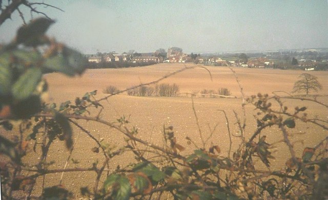
Image: © John Baker Taken: Unknown
The arable land is now covered by housing. In the centre of the view is the tower of St Mary's church.
Images are licensed for reuse under creativecommons.org/licenses/by-sa/2.0
Image Location
Latitude
51.141202
Longitude
0.829831