Withycombe Barton, Exmouth
Introduction
The photograph on this page of Withycombe Barton, Exmouth by Derek Harper as part of the Geograph project.
The Geograph project started in 2005 with the aim of publishing, organising and preserving representative images for every square kilometre of Great Britain, Ireland and the Isle of Man.

There are currently over 7.5m images from over 14,400 individuals and you can help contribute to the project by visiting https://www.geograph.org.uk
Withycombe Barton, Exmouth
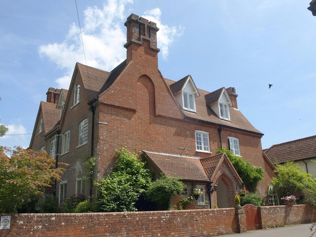
Image: © Derek Harper Taken: 11 Jul 2011
The C19 brick house is now divided in two. The "Large southern end gable with triple chimney and blind arch in gable" http://www.britishlistedbuildings.co.uk/en-87513-withycombe-barton-exmouth are visible in this photo, a closer view of Image, which was taken the day after.
Images are licensed for reuse under creativecommons.org/licenses/by-sa/2.0
Image Location
Latitude
50.642228
Longitude
-3.377432