Demolition site, Torquay
Introduction
The photograph on this page of Demolition site, Torquay by Derek Harper as part of the Geograph project.
The Geograph project started in 2005 with the aim of publishing, organising and preserving representative images for every square kilometre of Great Britain, Ireland and the Isle of Man.

There are currently over 7.5m images from over 14,400 individuals and you can help contribute to the project by visiting https://www.geograph.org.uk
Demolition site, Torquay
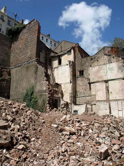
Image: © Derek Harper Taken: 6 Jul 2011
Adjoining what remains of the old Swan Street (see also Image), and backing onto Rock Road way above.
Images are licensed for reuse under creativecommons.org/licenses/by-sa/2.0
Image Location
Latitude
50.463995
Longitude
-3.527376