London Topographical Society AGM in Liberal Jewish Synagogue
Introduction
The photograph on this page of London Topographical Society AGM in Liberal Jewish Synagogue by David Hawgood as part of the Geograph project.
The Geograph project started in 2005 with the aim of publishing, organising and preserving representative images for every square kilometre of Great Britain, Ireland and the Isle of Man.

There are currently over 7.5m images from over 14,400 individuals and you can help contribute to the project by visiting https://www.geograph.org.uk
London Topographical Society AGM in Liberal Jewish Synagogue
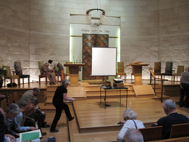
Image: © David Hawgood Taken: 6 Jul 2011
The London Topographical Society meets in a different significant building each year. This year the venue was the Liberal Jewish Synagogue in St Johns Wood Road, opposite Lords cricket ground.
Images are licensed for reuse under creativecommons.org/licenses/by-sa/2.0
Image Location
Latitude
51.527975
Longitude
-0.172351