River Ravensbourne in Ladywell Fields
Introduction
The photograph on this page of River Ravensbourne in Ladywell Fields by Marathon as part of the Geograph project.
The Geograph project started in 2005 with the aim of publishing, organising and preserving representative images for every square kilometre of Great Britain, Ireland and the Isle of Man.

There are currently over 7.5m images from over 14,400 individuals and you can help contribute to the project by visiting https://www.geograph.org.uk
River Ravensbourne in Ladywell Fields
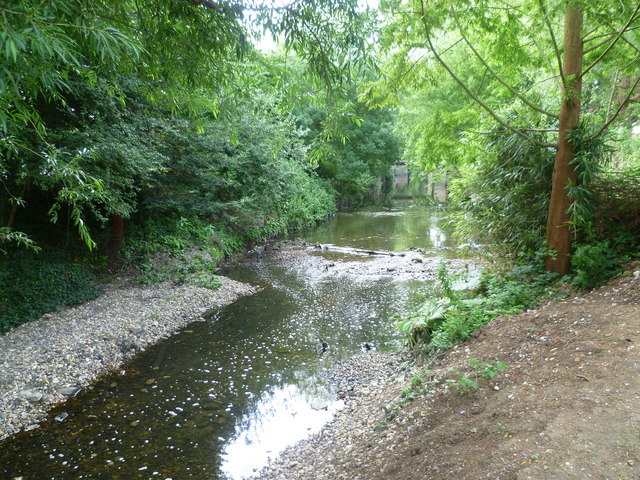
Image: © Marathon Taken: 12 Jul 2011
During 2007-8, a new channel was created in the northern section of Ladywell Fields so that the River Ravensbourne could run through the park as well as follow its normal course. Here in the southern section of Ladywell Fields, the landscaping was only completed in 2011 and includes the creation of a more 'natural' bed for the River Ravensbourne. This view looks upriver.
Images are licensed for reuse under creativecommons.org/licenses/by-sa/2.0
Image Location
Latitude
51.446924
Longitude
-0.026352