Croftamie
Introduction
The photograph on this page of Croftamie by Lairich Rig as part of the Geograph project.
The Geograph project started in 2005 with the aim of publishing, organising and preserving representative images for every square kilometre of Great Britain, Ireland and the Isle of Man.

There are currently over 7.5m images from over 14,400 individuals and you can help contribute to the project by visiting https://www.geograph.org.uk
Croftamie
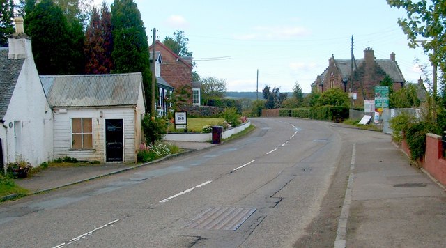
Image: © Lairich Rig Taken: 30 Jun 2011
This photograph was taken from the point where NCN7 (following the former course of a railway line) crosses the main road at Croftamie. It is a view from more or less the same place as Image, but looking in the opposite direction.
Images are licensed for reuse under creativecommons.org/licenses/by-sa/2.0
Image Location
Latitude
56.043928
Longitude
-4.446366