Pitch Cross near Narberth
Introduction
The photograph on this page of Pitch Cross near Narberth by Jeremy Bolwell as part of the Geograph project.
The Geograph project started in 2005 with the aim of publishing, organising and preserving representative images for every square kilometre of Great Britain, Ireland and the Isle of Man.

There are currently over 7.5m images from over 14,400 individuals and you can help contribute to the project by visiting https://www.geograph.org.uk
Pitch Cross near Narberth
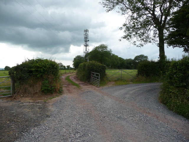
Image: © Jeremy Bolwell Taken: 11 Jul 2011
Here a track runs ahead towards Pitch Farm and the mobile phone mast and the track bends in effect and becomes part of The Knight's Way.
Images are licensed for reuse under creativecommons.org/licenses/by-sa/2.0
Image Location
Latitude
51.779859
Longitude
-4.746151