The northern apex of Tilbury
Introduction
The photograph on this page of The northern apex of Tilbury by Robin Webster as part of the Geograph project.
The Geograph project started in 2005 with the aim of publishing, organising and preserving representative images for every square kilometre of Great Britain, Ireland and the Isle of Man.

There are currently over 7.5m images from over 14,400 individuals and you can help contribute to the project by visiting https://www.geograph.org.uk
The northern apex of Tilbury
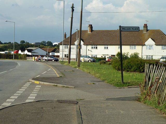
Image: © Robin Webster Taken: 10 Jul 2011
The junction of St Chads Road and Feenan Highway is the northern tip of the housing development of 'modern' Tilbury, i.e. the accommodation built principally for workers at Tilbury Docks, or enterprises associated with them.
Images are licensed for reuse under creativecommons.org/licenses/by-sa/2.0
Image Location
Latitude
51.47157
Longitude
0.36681