Disused Lagan canal. Aghalee (1)
Introduction
The photograph on this page of Disused Lagan canal. Aghalee (1) by Albert Bridge as part of the Geograph project.
The Geograph project started in 2005 with the aim of publishing, organising and preserving representative images for every square kilometre of Great Britain, Ireland and the Isle of Man.

There are currently over 7.5m images from over 14,400 individuals and you can help contribute to the project by visiting https://www.geograph.org.uk
Disused Lagan canal. Aghalee (1)
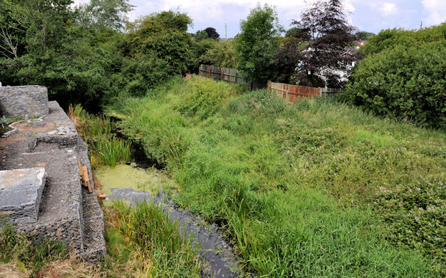
Image: © Albert Bridge Taken: 10 Jul 2011
See Image This is the view of the disused Lagan canal on the Lough Neagh side of the Aghalee bridge Image, where the towpath ends. Ideally the towpath would/could be restored to the loughshore but there are probably numerous obstacles including financial, land acquisition and the fact that it would involve Lisburn and Craigavon councils in a joint effort. Continue to Image
Images are licensed for reuse under creativecommons.org/licenses/by-sa/2.0
Image Location
Latitude
54.5192
Longitude
-6.264233