Canal bridge, Aghalee
Introduction
The photograph on this page of Canal bridge, Aghalee by Albert Bridge as part of the Geograph project.
The Geograph project started in 2005 with the aim of publishing, organising and preserving representative images for every square kilometre of Great Britain, Ireland and the Isle of Man.

There are currently over 7.5m images from over 14,400 individuals and you can help contribute to the project by visiting https://www.geograph.org.uk
Canal bridge, Aghalee
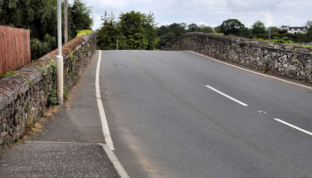
Image: © Albert Bridge Taken: 10 Jul 2011
See Image The canal originally continued, to Lough Neagh, under this hump-backed bridge on the Soldierstown Road. The towpath ends its journey, on the right, on the other (Lower Ballinderry) side of the hump.
Images are licensed for reuse under creativecommons.org/licenses/by-sa/2.0
Image Location
Latitude
54.5192
Longitude
-6.264233