A Round Tower at Nantyglo
Introduction
The photograph on this page of A Round Tower at Nantyglo by David Smith as part of the Geograph project.
The Geograph project started in 2005 with the aim of publishing, organising and preserving representative images for every square kilometre of Great Britain, Ireland and the Isle of Man.

There are currently over 7.5m images from over 14,400 individuals and you can help contribute to the project by visiting https://www.geograph.org.uk
A Round Tower at Nantyglo
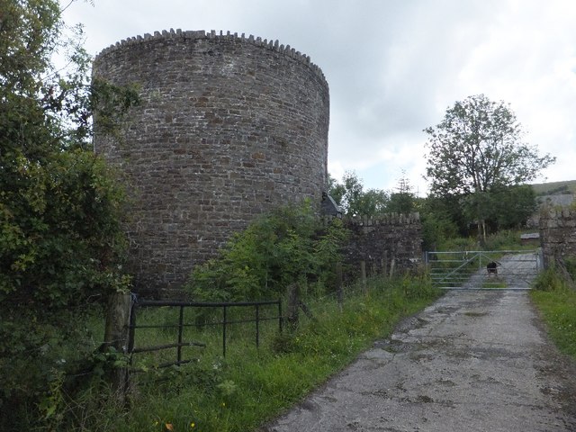
Image: © David Smith Taken: 7 Jul 2011
Built as a defensive measure in the early 19th century by ironmasters. A second tower is at Image]
Images are licensed for reuse under creativecommons.org/licenses/by-sa/2.0
Image Location
Latitude
51.785205
Longitude
-3.175519