The A144 through Bramfield
Introduction
The photograph on this page of The A144 through Bramfield by Evelyn Simak as part of the Geograph project.
The Geograph project started in 2005 with the aim of publishing, organising and preserving representative images for every square kilometre of Great Britain, Ireland and the Isle of Man.

There are currently over 7.5m images from over 14,400 individuals and you can help contribute to the project by visiting https://www.geograph.org.uk
The A144 through Bramfield
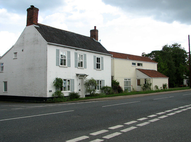
Image: © Evelyn Simak Taken: 9 Jul 2011
The village of Bramfield is centred around the crossroads of the A144 (A12 to Bungay road) and the lesser roads which lead to Walpole to the west and to Thorington and Wenhaston to the east.
Images are licensed for reuse under creativecommons.org/licenses/by-sa/2.0
Image Location
Latitude
52.309558
Longitude
1.519038