Footpath to Sheepy Magna
Introduction
The photograph on this page of Footpath to Sheepy Magna by Trevor Rickard as part of the Geograph project.
The Geograph project started in 2005 with the aim of publishing, organising and preserving representative images for every square kilometre of Great Britain, Ireland and the Isle of Man.

There are currently over 7.5m images from over 14,400 individuals and you can help contribute to the project by visiting https://www.geograph.org.uk
Footpath to Sheepy Magna
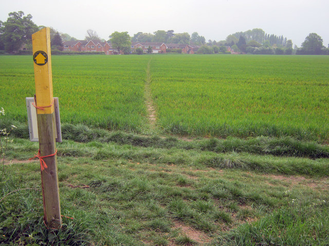
Image: © Trevor Rickard Taken: 29 Apr 2011
Heading south-east across a corn field towards the village. The sign on the back of the waymark post indicates that there are several permissive walking paths around these fields.
Images are licensed for reuse under creativecommons.org/licenses/by-sa/2.0
Image Location
Latitude
52.610946
Longitude
-1.522802