Path to Caistor
Introduction
The photograph on this page of Path to Caistor by Michael Patterson as part of the Geograph project.
The Geograph project started in 2005 with the aim of publishing, organising and preserving representative images for every square kilometre of Great Britain, Ireland and the Isle of Man.

There are currently over 7.5m images from over 14,400 individuals and you can help contribute to the project by visiting https://www.geograph.org.uk
Path to Caistor
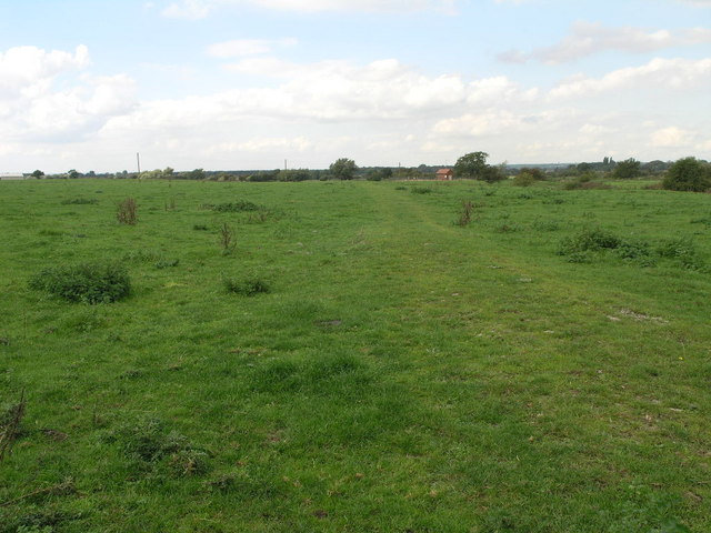
Image: © Michael Patterson Taken: 26 Sep 2006
This path appears to have some temporary paving as it passes through this field.
Images are licensed for reuse under creativecommons.org/licenses/by-sa/2.0
Image Location
Latitude
53.486921
Longitude
-0.336112