Road near Walton Hall
Introduction
The photograph on this page of Road near Walton Hall by Derek Harper as part of the Geograph project.
The Geograph project started in 2005 with the aim of publishing, organising and preserving representative images for every square kilometre of Great Britain, Ireland and the Isle of Man.

There are currently over 7.5m images from over 14,400 individuals and you can help contribute to the project by visiting https://www.geograph.org.uk
Road near Walton Hall
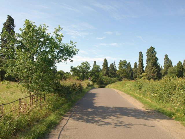
Image: © Derek Harper Taken: 11 Jun 2011
The road south of Walton, approaching the western entrance to Walton Hall, with Wellingtonias on either side of the road, and a young oak in the foreground. This road runs for nearly six kilometres between Wellesbourne and the Fosse Way without a junction with another public through road.
Images are licensed for reuse under creativecommons.org/licenses/by-sa/2.0
Image Location
Latitude
52.171665
Longitude
-1.588634