Entrance to Higher Coley Farm
Introduction
The photograph on this page of Entrance to Higher Coley Farm by Mick Malpass as part of the Geograph project.
The Geograph project started in 2005 with the aim of publishing, organising and preserving representative images for every square kilometre of Great Britain, Ireland and the Isle of Man.

There are currently over 7.5m images from over 14,400 individuals and you can help contribute to the project by visiting https://www.geograph.org.uk
Entrance to Higher Coley Farm
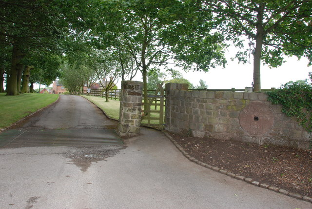
Image: © Mick Malpass Taken: 8 Jul 2011
Notice the Mill stones set in the entrance walls, with the farm name carved in them, on the left is a platform, not in view, that the milk churns would have been put on for a lorry to collect, before bulk collection came into being.
Images are licensed for reuse under creativecommons.org/licenses/by-sa/2.0
Image Location
Latitude
52.800058
Longitude
-1.984533