Approaching Yr Wyddgrug (Mold)
Introduction
The photograph on this page of Approaching Yr Wyddgrug (Mold) by Phil Williams as part of the Geograph project.
The Geograph project started in 2005 with the aim of publishing, organising and preserving representative images for every square kilometre of Great Britain, Ireland and the Isle of Man.

There are currently over 7.5m images from over 14,400 individuals and you can help contribute to the project by visiting https://www.geograph.org.uk
Approaching Yr Wyddgrug (Mold)
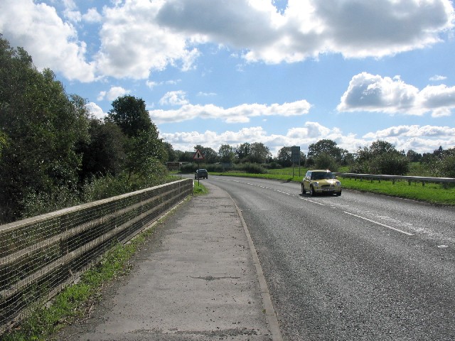
Image: © Phil Williams Taken: 26 Sep 2006
A view looking to the southeast along the A541 as it crosses the bridge over the Afon Alyn (River Alyn) on the approach to Yr Wyddgrug (Mold).
Images are licensed for reuse under creativecommons.org/licenses/by-sa/2.0
Image Location
Latitude
53.177396
Longitude
-3.155031