Park Close
Introduction
The photograph on this page of Park Close by Oast House Archive as part of the Geograph project.
The Geograph project started in 2005 with the aim of publishing, organising and preserving representative images for every square kilometre of Great Britain, Ireland and the Isle of Man.

There are currently over 7.5m images from over 14,400 individuals and you can help contribute to the project by visiting https://www.geograph.org.uk
Park Close
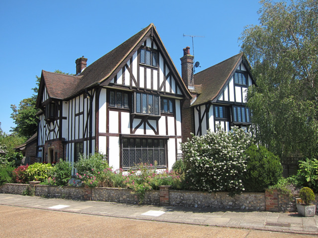
Image: © Oast House Archive Taken: 4 Jul 2011
Part of an oval of 28 Tudor style houses. The front of number 1 seen here beside the entrance road.
Images are licensed for reuse under creativecommons.org/licenses/by-sa/2.0
Image Location
Latitude
50.77079
Longitude
0.266863