High Street (A265), Heathfield
Introduction
The photograph on this page of High Street (A265), Heathfield by John Baker as part of the Geograph project.
The Geograph project started in 2005 with the aim of publishing, organising and preserving representative images for every square kilometre of Great Britain, Ireland and the Isle of Man.

There are currently over 7.5m images from over 14,400 individuals and you can help contribute to the project by visiting https://www.geograph.org.uk
High Street (A265), Heathfield
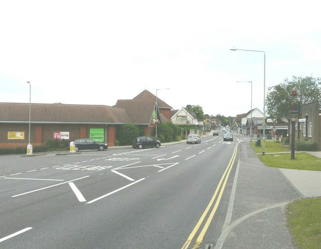
Image: © John Baker Taken: 3 Jul 2011
The large building on the left is a co-operative society store. The cars are emerging from the slip road that leads to a free car park.
Images are licensed for reuse under creativecommons.org/licenses/by-sa/2.0
Image Location
Latitude
50.971222
Longitude
0.2504