Pasture by the Dene
Introduction
The photograph on this page of Pasture by the Dene by Derek Harper as part of the Geograph project.
The Geograph project started in 2005 with the aim of publishing, organising and preserving representative images for every square kilometre of Great Britain, Ireland and the Isle of Man.

There are currently over 7.5m images from over 14,400 individuals and you can help contribute to the project by visiting https://www.geograph.org.uk
Pasture by the Dene
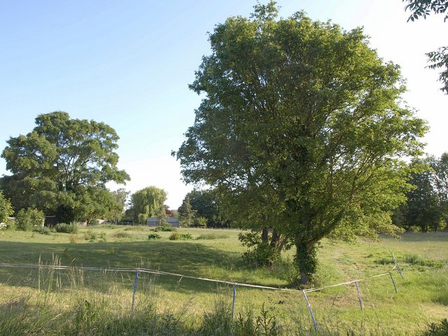
Image: © Derek Harper Taken: 11 Jun 2011
The River Dene runs past the trees in the background on the right. This view is from the footpath between Wellesbourne and the Mill.
Images are licensed for reuse under creativecommons.org/licenses/by-sa/2.0
Image Location
Latitude
52.192082
Longitude
-1.591225