Groombridge station platform
Introduction
The photograph on this page of Groombridge station platform by Stephen Craven as part of the Geograph project.
The Geograph project started in 2005 with the aim of publishing, organising and preserving representative images for every square kilometre of Great Britain, Ireland and the Isle of Man.

There are currently over 7.5m images from over 14,400 individuals and you can help contribute to the project by visiting https://www.geograph.org.uk
Groombridge station platform
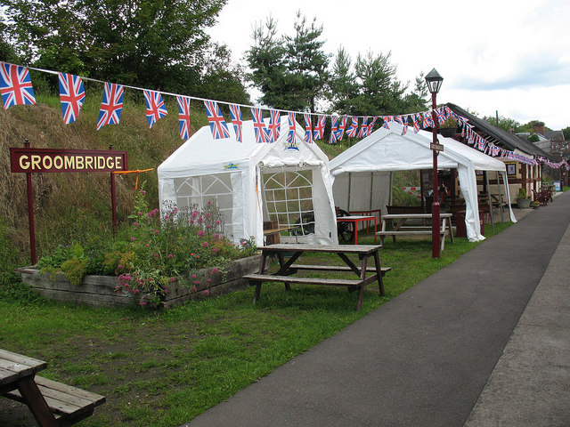
Image: © Stephen Craven Taken: 24 Jun 2011
The bunting had been put up for a 1940s reminiscence weekend a few days previously.
Images are licensed for reuse under creativecommons.org/licenses/by-sa/2.0
Image Location


Leaflet Map data © OpenStreetMap
Latitude
51.112089
Longitude
0.187372