Mollinsburn, twin tracks
Introduction
The photograph on this page of Mollinsburn, twin tracks by Robert Murray as part of the Geograph project.
The Geograph project started in 2005 with the aim of publishing, organising and preserving representative images for every square kilometre of Great Britain, Ireland and the Isle of Man.

There are currently over 7.5m images from over 14,400 individuals and you can help contribute to the project by visiting https://www.geograph.org.uk
Mollinsburn, twin tracks
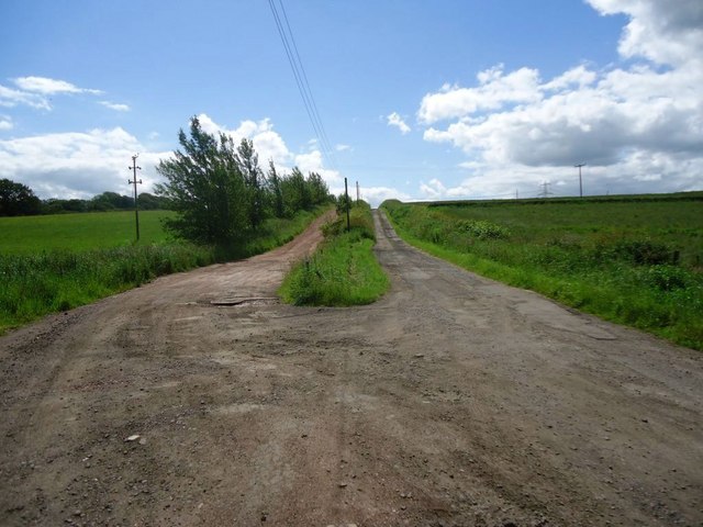
Image: © Robert Murray Taken: 28 Jun 2011
That on the left is a private track to Adamswell and a trout fishery the other is a Right of Way and heads for Mollinshead Farm and Annathill.
Images are licensed for reuse under creativecommons.org/licenses/by-sa/2.0
Image Location
Latitude
55.920143
Longitude
-4.054277