Pines, Worfield
Introduction
The photograph on this page of Pines, Worfield by Stephen Richards as part of the Geograph project.
The Geograph project started in 2005 with the aim of publishing, organising and preserving representative images for every square kilometre of Great Britain, Ireland and the Isle of Man.

There are currently over 7.5m images from over 14,400 individuals and you can help contribute to the project by visiting https://www.geograph.org.uk
Pines, Worfield
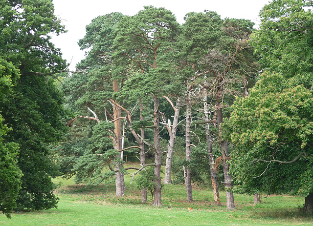
Image: © Stephen Richards Taken: Unknown
In the mid-C18th park of Davenport House, and looking as if they've been in the wars a little. The reddening of the trunks higher up could indicate that they are Scots pines. (Update: thanks to fellow Geographer, Robin Stott, for confirming the identification.)
Images are licensed for reuse under creativecommons.org/licenses/by-sa/2.0
Image Location
Latitude
52.557062
Longitude
-2.359264