Neilston Quarry
Introduction
The photograph on this page of Neilston Quarry by Marion Boyle as part of the Geograph project.
The Geograph project started in 2005 with the aim of publishing, organising and preserving representative images for every square kilometre of Great Britain, Ireland and the Isle of Man.

There are currently over 7.5m images from over 14,400 individuals and you can help contribute to the project by visiting https://www.geograph.org.uk
Neilston Quarry
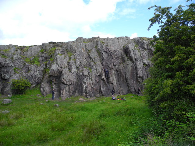
Image: © Marion Boyle Taken: 29 Jun 2011
A disused quarry north of the hill called Neiston Pad is popular with local rock climbers. The rock is dolerite and quite smooth and slippery.
Images are licensed for reuse under creativecommons.org/licenses/by-sa/2.0
Image Location
Latitude
55.771859
Longitude
-4.433114