Pasture Field at Moreton Paddox
Introduction
The photograph on this page of Pasture Field at Moreton Paddox by Nigel Mykura as part of the Geograph project.
The Geograph project started in 2005 with the aim of publishing, organising and preserving representative images for every square kilometre of Great Britain, Ireland and the Isle of Man.

There are currently over 7.5m images from over 14,400 individuals and you can help contribute to the project by visiting https://www.geograph.org.uk
Pasture Field at Moreton Paddox
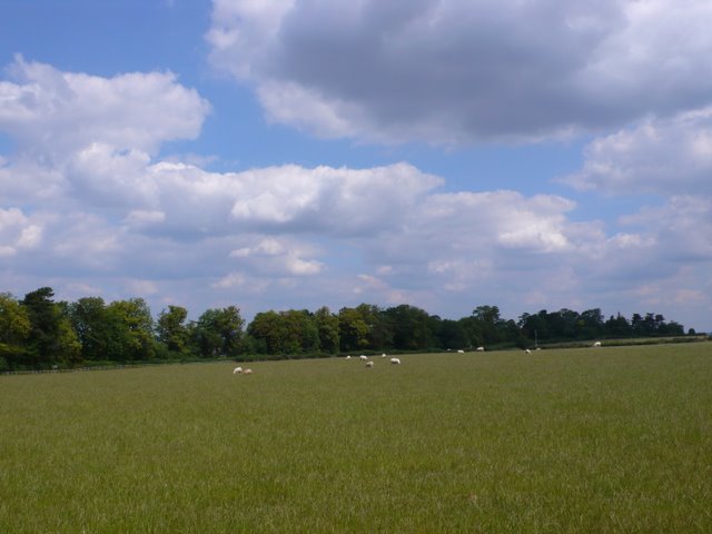
Image: © Nigel Mykura Taken: 2 Jul 2011
This field containing grazing sheep is just to the south west of the Agricultural College at Moreton Morrell and just to the north of Moreton Paddox.
Images are licensed for reuse under creativecommons.org/licenses/by-sa/2.0
Image Location
Latitude
52.191938
Longitude
-1.551583