Drives near High Chimneys Court
Introduction
The photograph on this page of Drives near High Chimneys Court by Robin Stott as part of the Geograph project.
The Geograph project started in 2005 with the aim of publishing, organising and preserving representative images for every square kilometre of Great Britain, Ireland and the Isle of Man.

There are currently over 7.5m images from over 14,400 individuals and you can help contribute to the project by visiting https://www.geograph.org.uk
Drives near High Chimneys Court
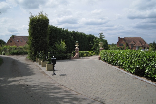
Image: © Robin Stott Taken: 20 Jun 2011
High Chimneys Court appears to be an extensive range of converted farm buildings, glimpsed on the left. The Grade II listed High House, formerly High Chimneys, is out of shot, left. The house on the right has not so far been identified. The view is from the public footpath crossing.
Images are licensed for reuse under creativecommons.org/licenses/by-sa/2.0
Image Location
Latitude
52.310339
Longitude
-1.691199