Community hall and playground
Introduction
The photograph on this page of Community hall and playground by Lis Burke as part of the Geograph project.
The Geograph project started in 2005 with the aim of publishing, organising and preserving representative images for every square kilometre of Great Britain, Ireland and the Isle of Man.

There are currently over 7.5m images from over 14,400 individuals and you can help contribute to the project by visiting https://www.geograph.org.uk
Community hall and playground
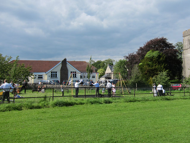
Image: © Lis Burke Taken: 2 Jul 2011
On this glorious sunny afternoon the playground was very popular with young families invited to a wedding reception in the community hall at Peterston-super-Ely.
Images are licensed for reuse under creativecommons.org/licenses/by-sa/2.0
Image Location
Latitude
51.478814
Longitude
-3.323146