A Gazebo in Didcot
Introduction
The photograph on this page of A Gazebo in Didcot by Des Blenkinsopp as part of the Geograph project.
The Geograph project started in 2005 with the aim of publishing, organising and preserving representative images for every square kilometre of Great Britain, Ireland and the Isle of Man.

There are currently over 7.5m images from over 14,400 individuals and you can help contribute to the project by visiting https://www.geograph.org.uk
A Gazebo in Didcot
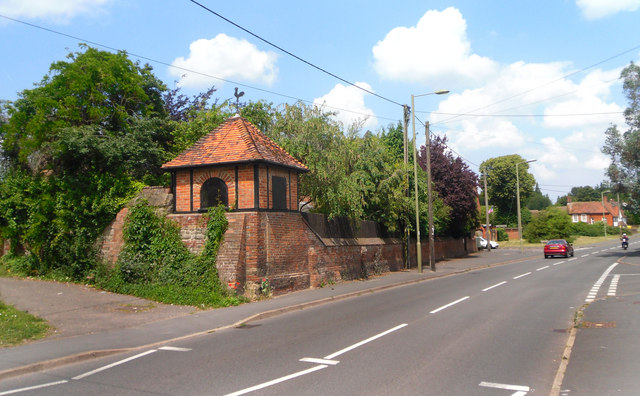
Image: © Des Blenkinsopp Taken: 3 Jul 2011
This is on the garden wall of Manor Farm, an old farmhouse now divided into apartments.
Images are licensed for reuse under creativecommons.org/licenses/by-sa/2.0
Image Location
Latitude
51.608259
Longitude
-1.253234