Old Farmhouse, Grove
Introduction
The photograph on this page of Old Farmhouse, Grove by Des Blenkinsopp as part of the Geograph project.
The Geograph project started in 2005 with the aim of publishing, organising and preserving representative images for every square kilometre of Great Britain, Ireland and the Isle of Man.

There are currently over 7.5m images from over 14,400 individuals and you can help contribute to the project by visiting https://www.geograph.org.uk
Old Farmhouse, Grove
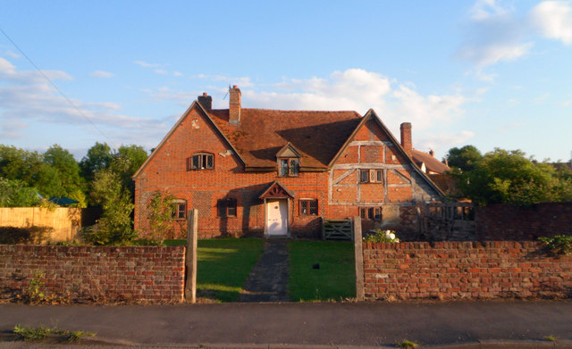
Image: © Des Blenkinsopp Taken: 29 Jun 2011
This old farm house is one of the handful of original buildings pre-dating the development of Grove airfield as a new town after WW2.
Images are licensed for reuse under creativecommons.org/licenses/by-sa/2.0
Image Location
Latitude
51.611917
Longitude
-1.423876