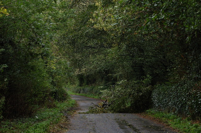
The old road from Belfast to Dublin (1)
Introduction
The photograph on this page of The old road from Belfast to Dublin (1) by Albert Bridge as part of the Geograph project.
The Geograph project started in 2005 with the aim of publishing, organising and preserving representative images for every square kilometre of Great Britain, Ireland and the Isle of Man.
There are currently over 7.5m images from over 14,400 individuals and you can help contribute to the project by visiting https://www.geograph.org.uk

Image: © Albert Bridge Taken: 27 Sep 2006
Before the internal combustion engine those who could afford to, travelled by stagecoach. The roads upon which they travelled were not known for their quality especially in the winter. A number of Turnpike Trusts were established by Act of Parliament. The trusts were allowed to charge for the use of the road under their control in return for keeping the road in proper condition. One of the trusts operated a turnpike road from Banbridge to Newry. The old road is (blocked by a tree which had just fallen in high winds and had probably been weakened by the tail of hurricane “Gordon” the previous week), looking south, just outside Loughbrickland. For a view of today’s road see Image

