Lane Junction to the North of Curbar
Introduction
The photograph on this page of Lane Junction to the North of Curbar by Jonathan Clitheroe as part of the Geograph project.
The Geograph project started in 2005 with the aim of publishing, organising and preserving representative images for every square kilometre of Great Britain, Ireland and the Isle of Man.

There are currently over 7.5m images from over 14,400 individuals and you can help contribute to the project by visiting https://www.geograph.org.uk
Lane Junction to the North of Curbar
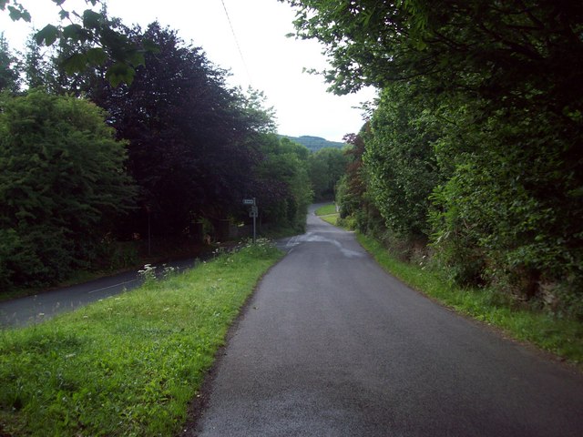
Image: © Jonathan Clitheroe Taken: 6 Jul 2011
3 lanes are visible here. Riddings Lane towards Froggatt is straight ahead, Dukes Drive is to the right and the lane from where the picture is taken - known as 'The Bent'.
Images are licensed for reuse under creativecommons.org/licenses/by-sa/2.0
Image Location
Latitude
53.273029
Longitude
-1.628979