A482 leaves Llanwrda
Introduction
The photograph on this page of A482 leaves Llanwrda by Jaggery as part of the Geograph project.
The Geograph project started in 2005 with the aim of publishing, organising and preserving representative images for every square kilometre of Great Britain, Ireland and the Isle of Man.

There are currently over 7.5m images from over 14,400 individuals and you can help contribute to the project by visiting https://www.geograph.org.uk
A482 leaves Llanwrda
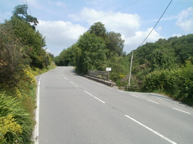
Image: © Jaggery Taken: 3 Jul 2011
The A482 heads north past the right turn for the site of the demolished Bishops Mill, on the bank of Afon Dulais, a tributary of the River Towy.
Images are licensed for reuse under creativecommons.org/licenses/by-sa/2.0
Image Location
Latitude
51.973275
Longitude
-3.877943