St Andrew's Kirk
Introduction
The photograph on this page of St Andrew's Kirk by Anne Burgess as part of the Geograph project.
The Geograph project started in 2005 with the aim of publishing, organising and preserving representative images for every square kilometre of Great Britain, Ireland and the Isle of Man.

There are currently over 7.5m images from over 14,400 individuals and you can help contribute to the project by visiting https://www.geograph.org.uk
St Andrew's Kirk
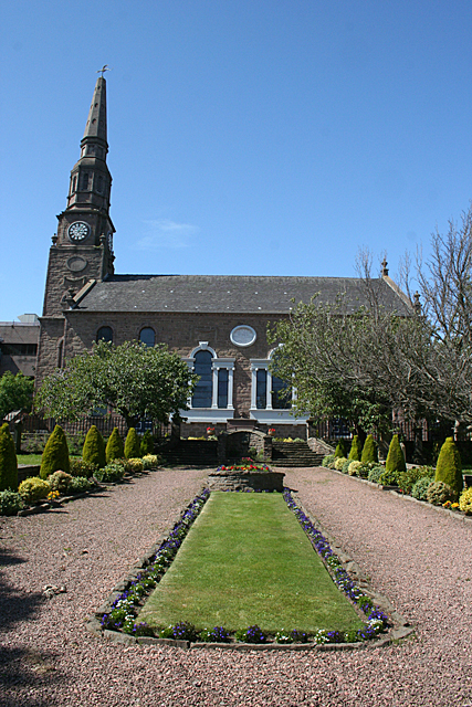
Image: © Anne Burgess Taken: 30 Jun 2011
As the city of Dundee expanded in the 18th century, St Andrew's Parish was erected to cope with the rising population. The church was built between 1772 and 1774, and still serves an active congregation. See http://www.standrewsparishchurch.co.uk/History_of_Church.htm for a more detailed history.
Images are licensed for reuse under creativecommons.org/licenses/by-sa/2.0
Image Location
Latitude
56.464479
Longitude
-2.968033