Broughty Ferry Beach
Introduction
The photograph on this page of Broughty Ferry Beach by Anne Burgess as part of the Geograph project.
The Geograph project started in 2005 with the aim of publishing, organising and preserving representative images for every square kilometre of Great Britain, Ireland and the Isle of Man.

There are currently over 7.5m images from over 14,400 individuals and you can help contribute to the project by visiting https://www.geograph.org.uk
Broughty Ferry Beach
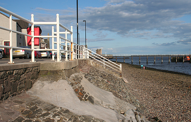
Image: © Anne Burgess Taken: 29 Jun 2011
The tide is fairly low, leaving an expanse of stony foreshore. Fisher Street runs along the top of the sea wall.
Images are licensed for reuse under creativecommons.org/licenses/by-sa/2.0
Image Location
Latitude
56.464873
Longitude
-2.87878