Rugby-Hart Field
Introduction
The photograph on this page of Rugby-Hart Field by Ian Rob as part of the Geograph project.
The Geograph project started in 2005 with the aim of publishing, organising and preserving representative images for every square kilometre of Great Britain, Ireland and the Isle of Man.

There are currently over 7.5m images from over 14,400 individuals and you can help contribute to the project by visiting https://www.geograph.org.uk
Rugby-Hart Field
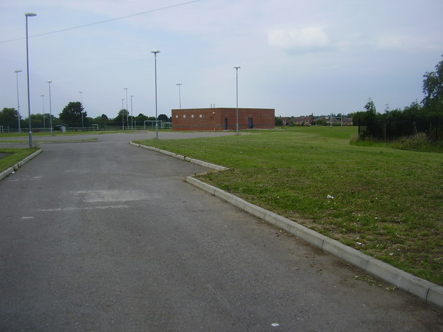
Image: © Ian Rob Taken: 3 Jul 2011
The Lawrence Sheriff School Playing Field has resisted the developers threat and has flourished since Image
Images are licensed for reuse under creativecommons.org/licenses/by-sa/2.0
Image Location
Latitude
52.367075
Longitude
-1.236838