'Friends' Meeting House' plaque
Introduction
The photograph on this page of 'Friends' Meeting House' plaque by John S Turner as part of the Geograph project.
The Geograph project started in 2005 with the aim of publishing, organising and preserving representative images for every square kilometre of Great Britain, Ireland and the Isle of Man.

There are currently over 7.5m images from over 14,400 individuals and you can help contribute to the project by visiting https://www.geograph.org.uk
'Friends' Meeting House' plaque
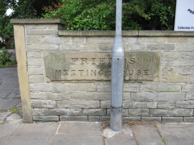
Image: © John S Turner Taken: 10 Jun 2011
This old plaque is set in the wall outside the Friends' Meeting House in Clare Road. The dates of 1743 and 1990 on either side of the plaque have been added more recently, presumably in 1990. In July 2011 the building is/was up for sale.
Images are licensed for reuse under creativecommons.org/licenses/by-sa/2.0
Image Location
Latitude
53.719798
Longitude
-1.859337