Furzehatt Avenue, Plymstock
Introduction
The photograph on this page of Furzehatt Avenue, Plymstock by Derek Harper as part of the Geograph project.
The Geograph project started in 2005 with the aim of publishing, organising and preserving representative images for every square kilometre of Great Britain, Ireland and the Isle of Man.

There are currently over 7.5m images from over 14,400 individuals and you can help contribute to the project by visiting https://www.geograph.org.uk
Furzehatt Avenue, Plymstock
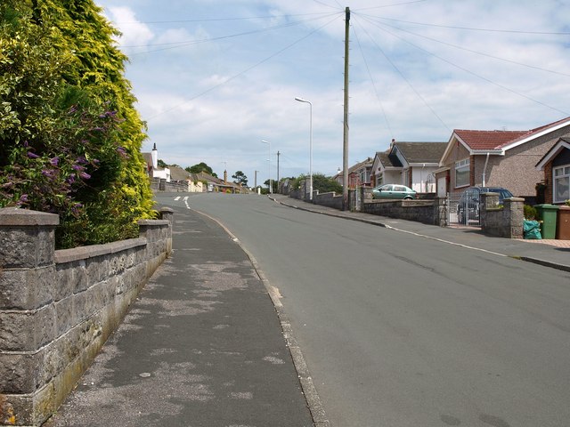
Image: © Derek Harper Taken: 1 Jul 2011
A little further up the hill shown in Image On the left just up ahead is the turn into Furzehatt Rise.
Images are licensed for reuse under creativecommons.org/licenses/by-sa/2.0
Image Location
Latitude
50.355732
Longitude
-4.077092