The seawall near Carrickfergus (1)
Introduction
The photograph on this page of The seawall near Carrickfergus (1) by Albert Bridge as part of the Geograph project.
The Geograph project started in 2005 with the aim of publishing, organising and preserving representative images for every square kilometre of Great Britain, Ireland and the Isle of Man.

There are currently over 7.5m images from over 14,400 individuals and you can help contribute to the project by visiting https://www.geograph.org.uk
The seawall near Carrickfergus (1)
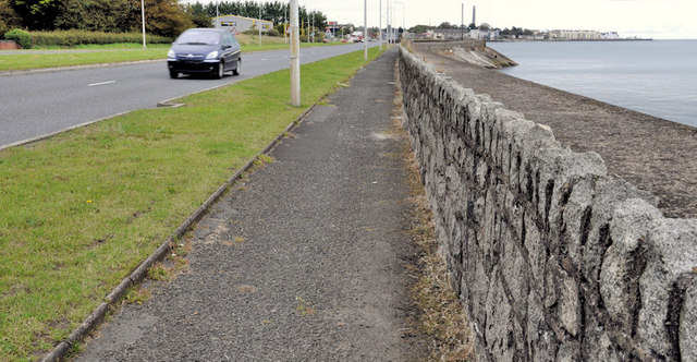
Image: © Albert Bridge Taken: 1 Jul 2011
Part of the seawall, on the Belfast side of the Sloefield Road. Now some 40 years old and well plastered, there are no cracks to allow the accumulation of wind-blown soil and no wildflowers.
Images are licensed for reuse under creativecommons.org/licenses/by-sa/2.0
Image Location
Latitude
54.706825
Longitude
-5.836208