Malton Station
Introduction
The photograph on this page of Malton Station by Pauline E as part of the Geograph project.
The Geograph project started in 2005 with the aim of publishing, organising and preserving representative images for every square kilometre of Great Britain, Ireland and the Isle of Man.

There are currently over 7.5m images from over 14,400 individuals and you can help contribute to the project by visiting https://www.geograph.org.uk
Malton Station
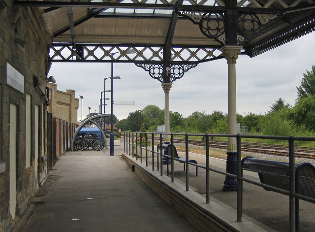
Image: © Pauline E Taken: 28 Jun 2011
The York to Scarborough Line runs between York and Scarborough. Towns and villages served along the way are Malton, Norton-on-Derwent and Seamer. View is east towards Scarborough.
Images are licensed for reuse under creativecommons.org/licenses/by-sa/2.0
Image Location
Latitude
54.131977
Longitude
-0.79646