In the upper Tame valley
Introduction
The photograph on this page of In the upper Tame valley by Michael Fox as part of the Geograph project.
The Geograph project started in 2005 with the aim of publishing, organising and preserving representative images for every square kilometre of Great Britain, Ireland and the Isle of Man.

There are currently over 7.5m images from over 14,400 individuals and you can help contribute to the project by visiting https://www.geograph.org.uk
In the upper Tame valley
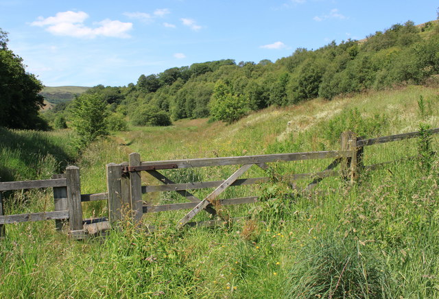
Image: © Michael Fox Taken: 3 Jul 2011
This is the path which runs close by the infant river between Delph and Denshaw.
Images are licensed for reuse under creativecommons.org/licenses/by-sa/2.0
Image Location
Latitude
53.571927
Longitude
-2.040885