Low Waite Farm
Introduction
The photograph on this page of Low Waite Farm by Derek Harper as part of the Geograph project.
The Geograph project started in 2005 with the aim of publishing, organising and preserving representative images for every square kilometre of Great Britain, Ireland and the Isle of Man.

There are currently over 7.5m images from over 14,400 individuals and you can help contribute to the project by visiting https://www.geograph.org.uk
Low Waite Farm
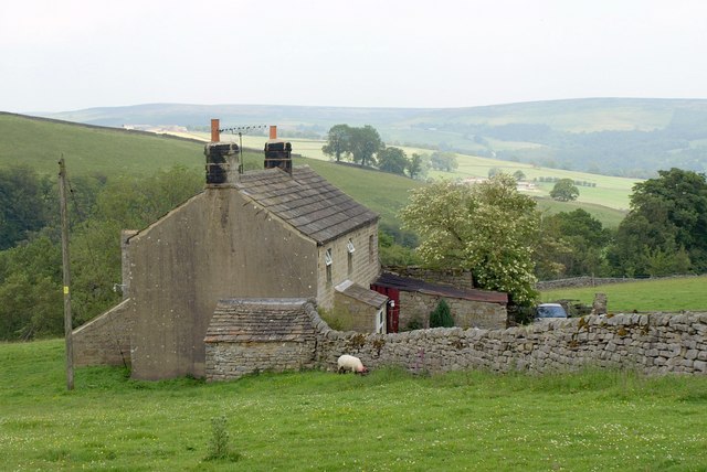
Image: © Derek Harper Taken: 27 Jun 2011
Seen from West Lane, carrying the Nidderdale Way and bridleway 15 9/8/2.
Images are licensed for reuse under creativecommons.org/licenses/by-sa/2.0
Image Location


Leaflet Map data © OpenStreetMap
Latitude
54.084529
Longitude
-1.800174