Whitehorn's Farm
Introduction
The photograph on this page of Whitehorn's Farm by Derek Harper as part of the Geograph project.
The Geograph project started in 2005 with the aim of publishing, organising and preserving representative images for every square kilometre of Great Britain, Ireland and the Isle of Man.

There are currently over 7.5m images from over 14,400 individuals and you can help contribute to the project by visiting https://www.geograph.org.uk
Whitehorn's Farm
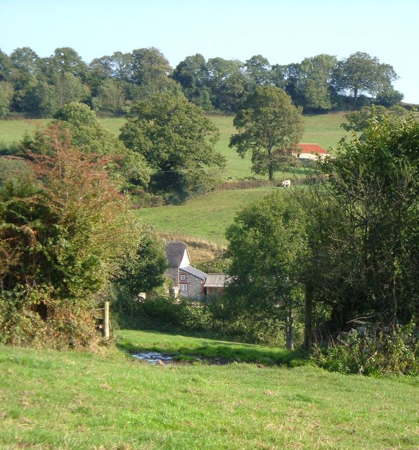
Image: © Derek Harper Taken: 21 Sep 2006
A glimpse through field boundaries of a farm in a fold of the Yarty valley, north of Yarcombe, with a barn beyond Yarcombe Bridleway 31 (from which this was taken). Above is Peacross Covert.
Images are licensed for reuse under creativecommons.org/licenses/by-sa/2.0
Image Location


Leaflet Map data © OpenStreetMap
Latitude
50.877774
Longitude
-3.076631