Old Beer Road, Seaton
Introduction
The photograph on this page of Old Beer Road, Seaton by Raymond Cubberley as part of the Geograph project.
The Geograph project started in 2005 with the aim of publishing, organising and preserving representative images for every square kilometre of Great Britain, Ireland and the Isle of Man.

There are currently over 7.5m images from over 14,400 individuals and you can help contribute to the project by visiting https://www.geograph.org.uk
Old Beer Road, Seaton
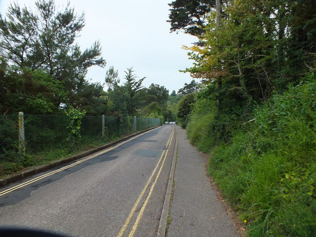
Image: © Raymond Cubberley Taken: 20 Jun 2011
The road is uphill all the way until it meets the new Beer Road.
Images are licensed for reuse under creativecommons.org/licenses/by-sa/2.0
Image Location
Latitude
50.700521
Longitude
-3.086585