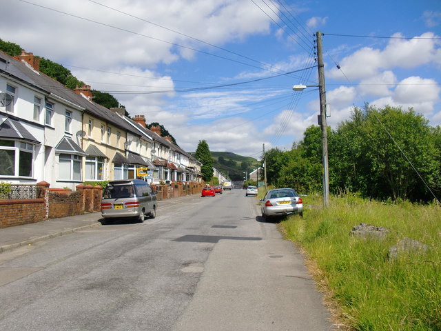
Kingsley terrace, Bryn Taf, Aberfan
Introduction
The photograph on this page of Kingsley terrace, Bryn Taf, Aberfan by Stefan Czapski as part of the Geograph project.
The Geograph project started in 2005 with the aim of publishing, organising and preserving representative images for every square kilometre of Great Britain, Ireland and the Isle of Man.
There are currently over 7.5m images from over 14,400 individuals and you can help contribute to the project by visiting https://www.geograph.org.uk

Image: © Stefan Czapski Taken: 20 Jun 2011
Looking north towards the village centre - the view south from the same point is shown at http://www.geograph.org.uk/photo/2485447. The road runs more or less along a contour, as did the former canal and railway which once ran roughly parallel to it (a little down the valley side to the right). Notice the ridge in the distance. It was on this ridge that the mining spoil-heap was sited which, when it collapsed in October 1966, brought about one of the most horrific disasters in British history. See John Thorn's Image; and also Alan George's first-rate website for coverage of all aspects of the history of the Merthyr area http://www.alangeorge.co.uk/old_merthyr.htm.

