On Derry Downs, St Mary Cray
Introduction
The photograph on this page of On Derry Downs, St Mary Cray by Marathon as part of the Geograph project.
The Geograph project started in 2005 with the aim of publishing, organising and preserving representative images for every square kilometre of Great Britain, Ireland and the Isle of Man.

There are currently over 7.5m images from over 14,400 individuals and you can help contribute to the project by visiting https://www.geograph.org.uk
On Derry Downs, St Mary Cray
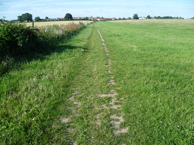
Image: © Marathon Taken: 1 Jul 2011
Derry Downs is an informal open space, just east of St Mary Cray. This view looks towards the houses of Cockmannings Road.
Images are licensed for reuse under creativecommons.org/licenses/by-sa/2.0
Image Location
Latitude
51.383892
Longitude
0.122413