Wick: London Road (old section)
Introduction
The photograph on this page of Wick: London Road (old section) by Nigel Cox as part of the Geograph project.
The Geograph project started in 2005 with the aim of publishing, organising and preserving representative images for every square kilometre of Great Britain, Ireland and the Isle of Man.

There are currently over 7.5m images from over 14,400 individuals and you can help contribute to the project by visiting https://www.geograph.org.uk
Wick: London Road (old section)
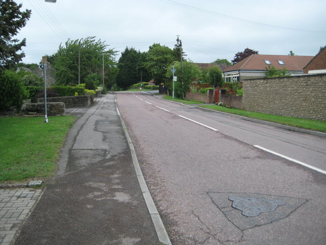
Image: © Nigel Cox Taken: 25 Jun 2011
This road, which eventually becomes Bury Lane leading to Doynton at the junction in the distance, was once the main London Road. It has now been bypassed with the realigned A420 to the south.
Images are licensed for reuse under creativecommons.org/licenses/by-sa/2.0
Image Location
Latitude
51.452895
Longitude
-2.418164